Search the Site
-
Join 1,585 other subscribers
-
Recent Publications
Facebook Page

Category Archives: Tools
Mr. Robot Hallucinates: Using ChatGPT-4 to Analyze Unstructured Clinical Notes in Electronic Medical Records
The Columbia Population Research Center’s Computing and Methods Core has been developing a series of research methods use cases for Large Language Model generative AI tools, largely focusing on ChatGPT-4. Our first case study was just published in JAMA Network … Continue reading
Posted in Active Transport, Injury, Methods, Safety, Tools
Leave a comment
Maintaining patient privacy while geocoding patient addresses: Do Not Use R to Geocode
Imagine if a clinical researcher were to disclose a list of patient addresses to a third-party – government agency, for profit company or not-for-profit entity – that was outside of their hospital or health system. Imagine the researcher then publicly … Continue reading
Posted in Health Care Access, Methods, Tools
Leave a comment
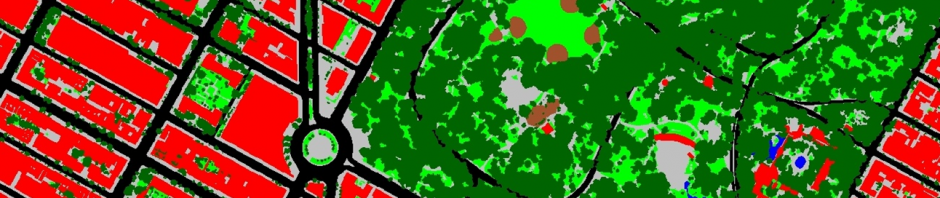
Improving the measurement of Neighborhood Physical Disorder
Neighborhood audit methods (AKA Systematic Social Observation) are often used to create measures of neighborhood built and social environments. But even with the enhanced efficiency of virtual neighborhood audit methods using CANVAS-Street View, it is generally not possible to collect … Continue reading
Posted in CANVAS, Methods, Street View, Tools
Leave a comment
Newly Funded Work on Pedestrian Injury
We have recently been funded by NIH to conduct a four-year study of how urban design, the locations of alcohol selling establishments, night life districts and locations of services for the homeless influence pedestrian fatality risk. We will be conducting … Continue reading
At Risk Populations for Severe COVID-19, Part IV
Our geographer extraordinaire, James Quinn, built a new version of our interactive mapping tool for severe COVID-19. The map depicts populations at high risk of severe COVID-19 due to older age or underlying health conditions, the availability of ICU beds … Continue reading
Posted in Health Care Access, Tools
1 Comment
Commandments for Variable Naming and Data Management
As we launched another multifaceted geographic data linkage study our multi-institution team, that includes researchers at Drexel University, Columbia University and the University of Washington, has developed a set of commandments to streamline and harmonize our data management, variable naming … Continue reading
Posted in Methods, Tools
Leave a comment
Maintaining Human Subject’s Protections in Neighborhood Health Effects Research
We recently published a commentary in the American Journal of Public Health describing the concerns we have for protecting study subject anonymity with the use of online geographic and data tools in neighborhood health effects research. Examples of neighborhood data available … Continue reading
Posted in Methods, Tools, Uncategorized
Leave a comment
Python script to process and merge NYC MapPLUTO data
We are happy to share a python script that downloads and compiles all of the current and archived New York City (NYC) Department of City Planning’s (DCP) MapPluto versions into a single file geodatabase with feature datasets for each year-version. … Continue reading
Posted in Tools
Leave a comment

